Day 153 – Tuesday, August 9th: The Birches Lean-to to Mount Katahdin, 5.2 miles, 2,189.1 total AT miles.

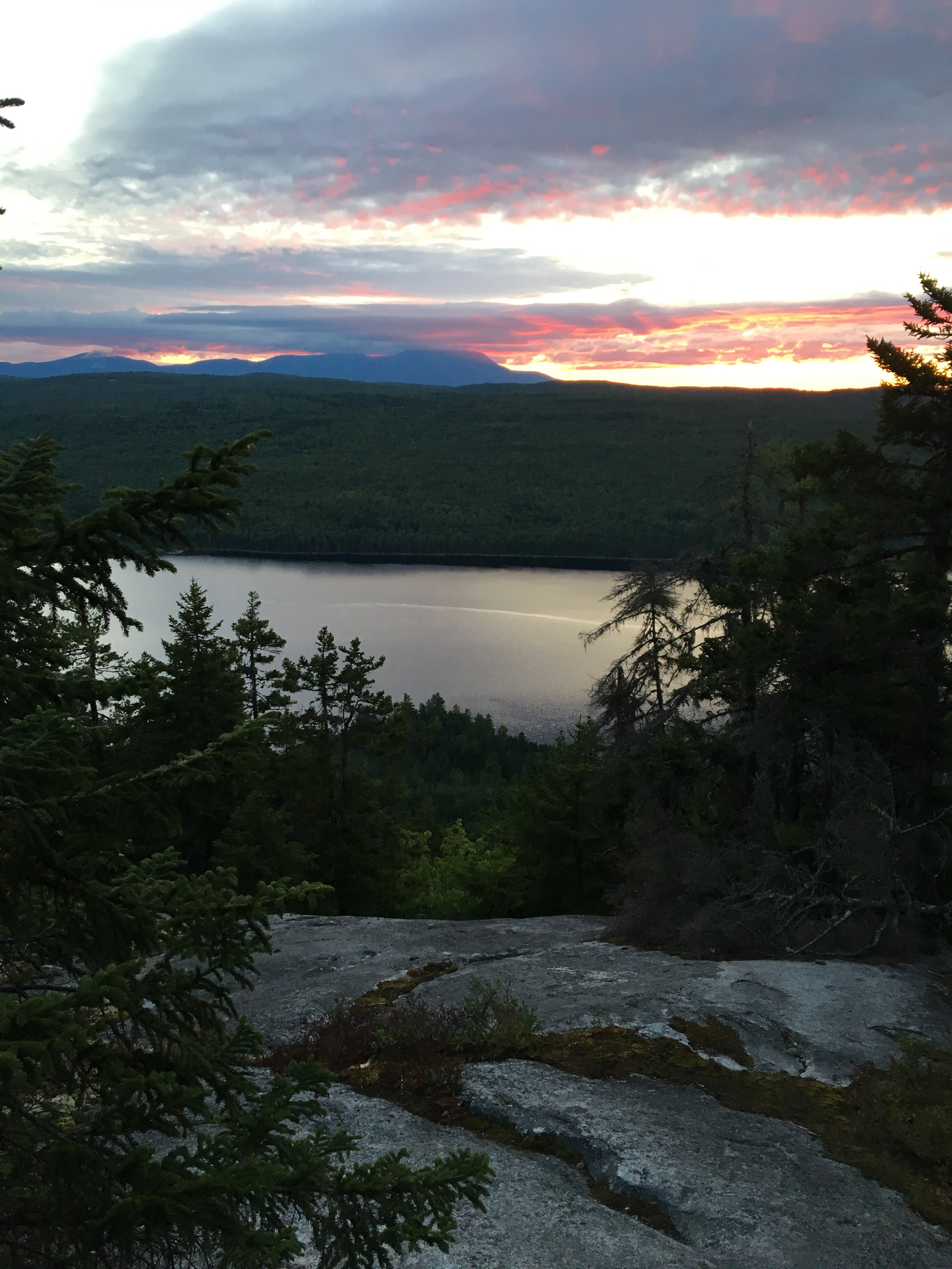
We woke up rather late considering today was the day we had been working towards for nearly five months. We took our time packing up – I visited the privy twice. We were on our way to summit Katahdin at 7:00am – the other hikers we saw tenting last night were nowhere in sight.

img_0937img_0938

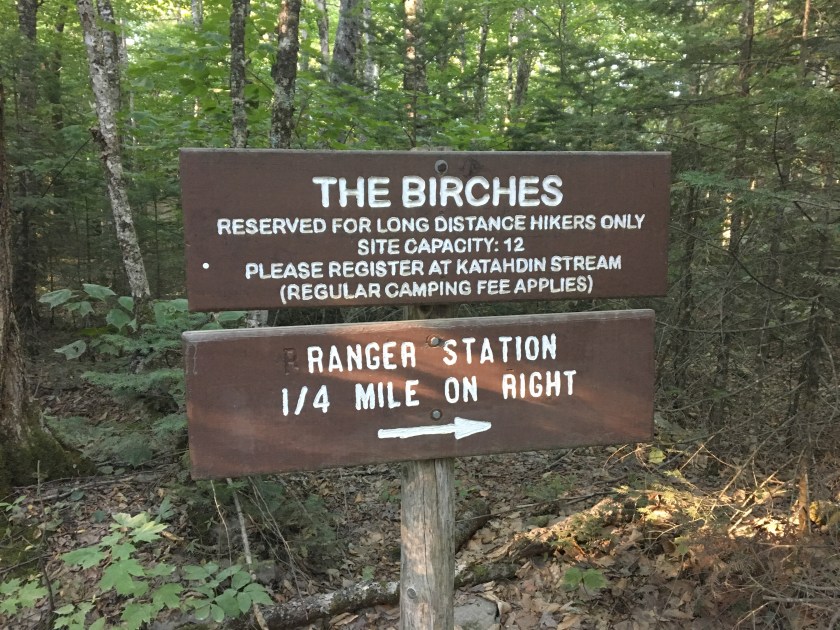
We passed the ranger station and started heading up the trail, signing in at a trail register along the way.

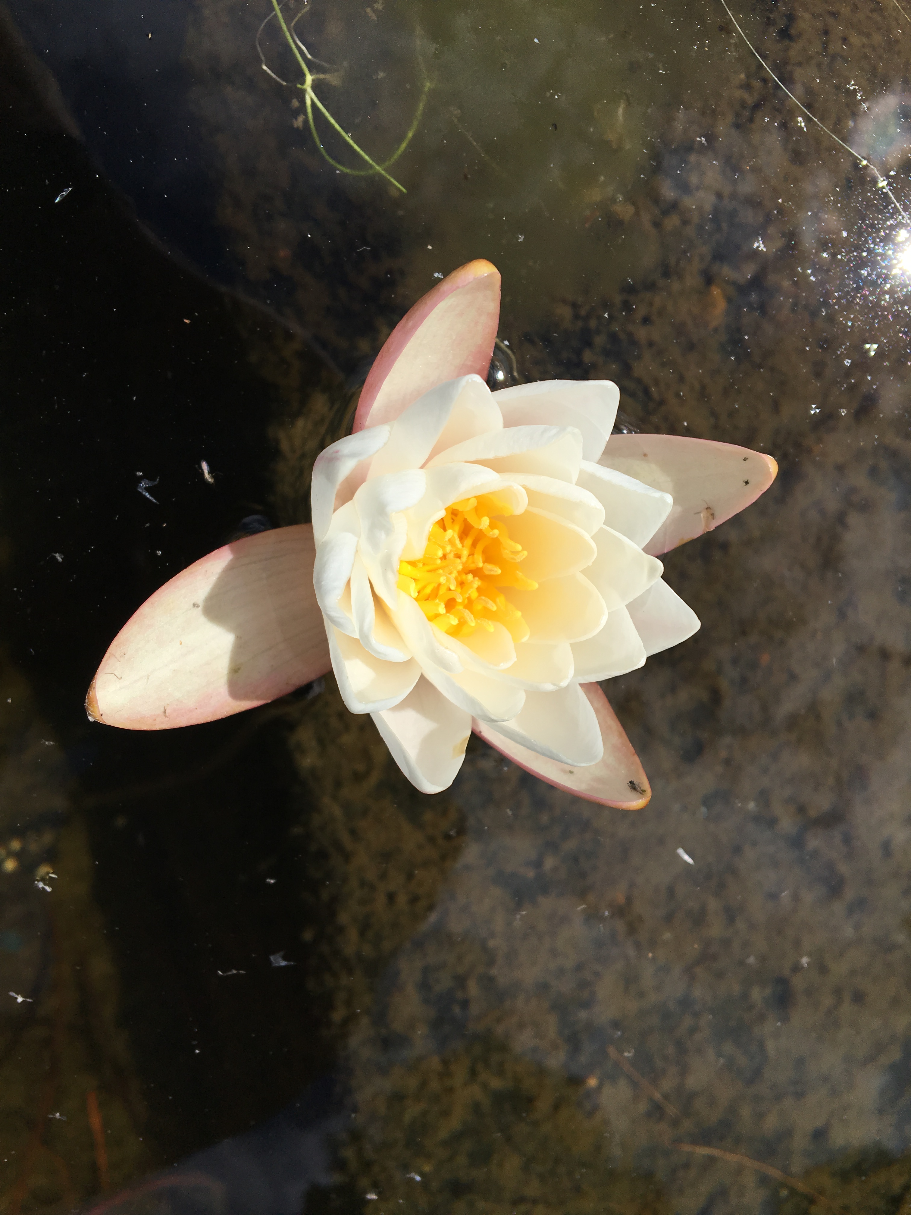
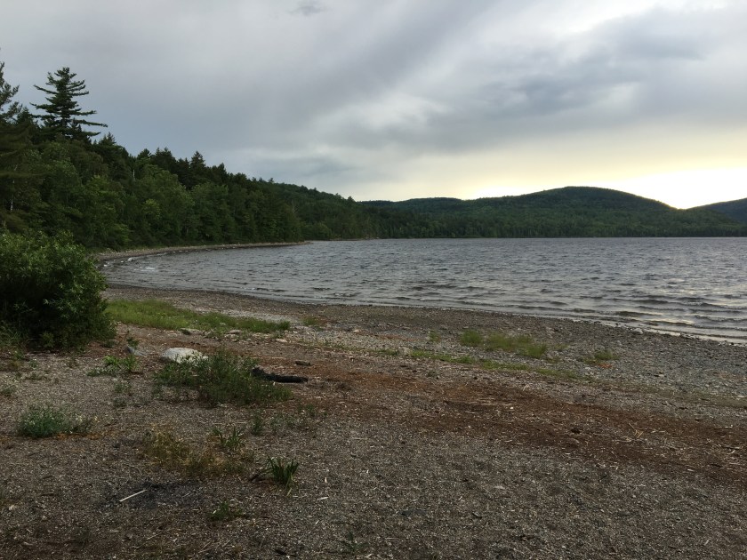
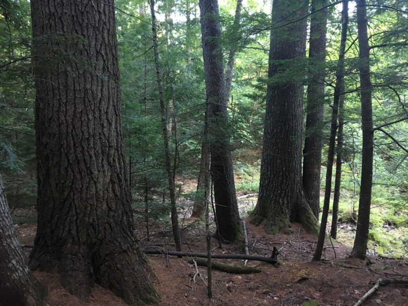
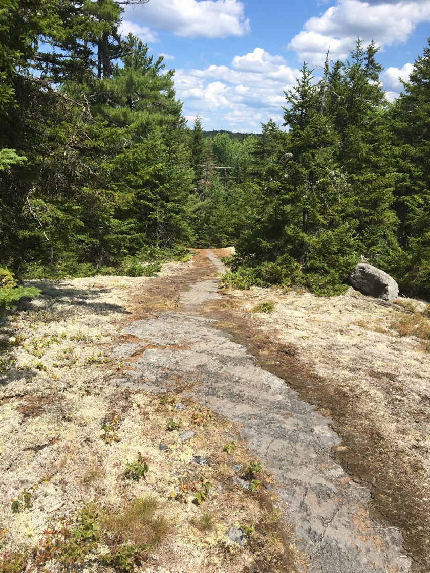
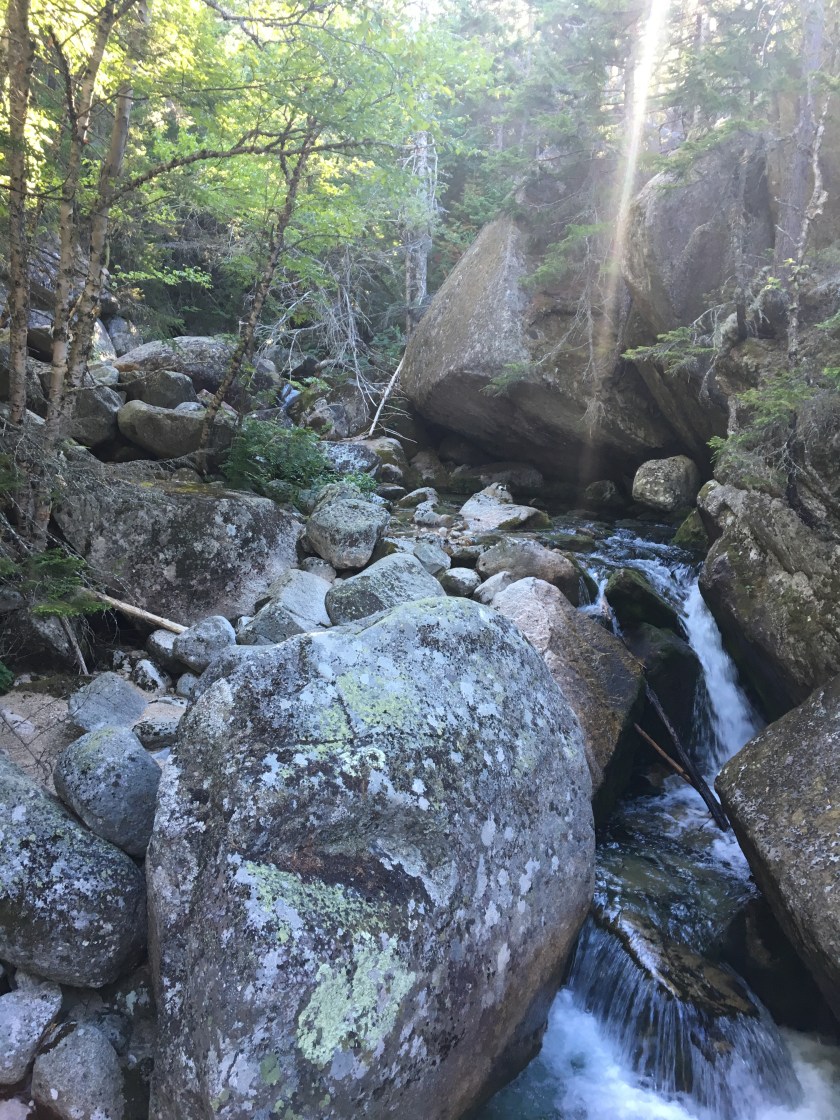
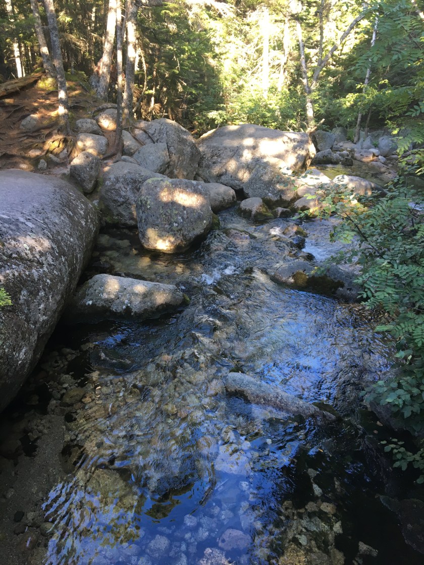
The trail started easy enough, passing crystal clear streams and beautiful waterfalls on the way up.

img_0948img_0949

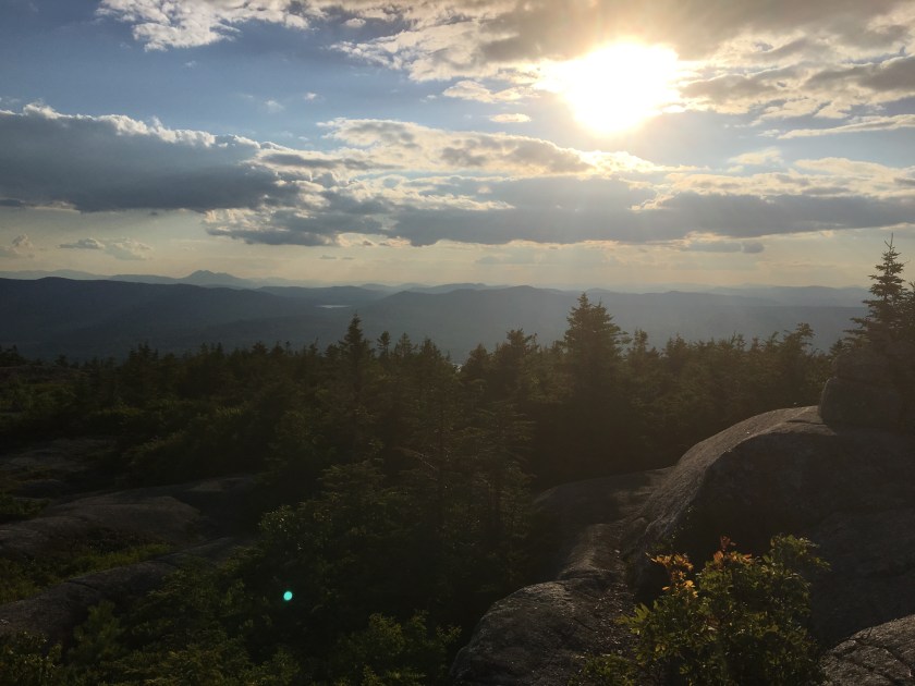
We emerged above treeline at 9:45am – we had been gaining serious elevation all morning. There was a lot of hand-over-hand climbing. As we got higher, the winds picked up. Did I mention Greyhound and I refused to check our backpacks at the ranger station? We were carrying full loads up this steep mountain. I would have had it no other way. I carried my pack every step of the way from Springer on – why stop now?

IMG_0954.JPG

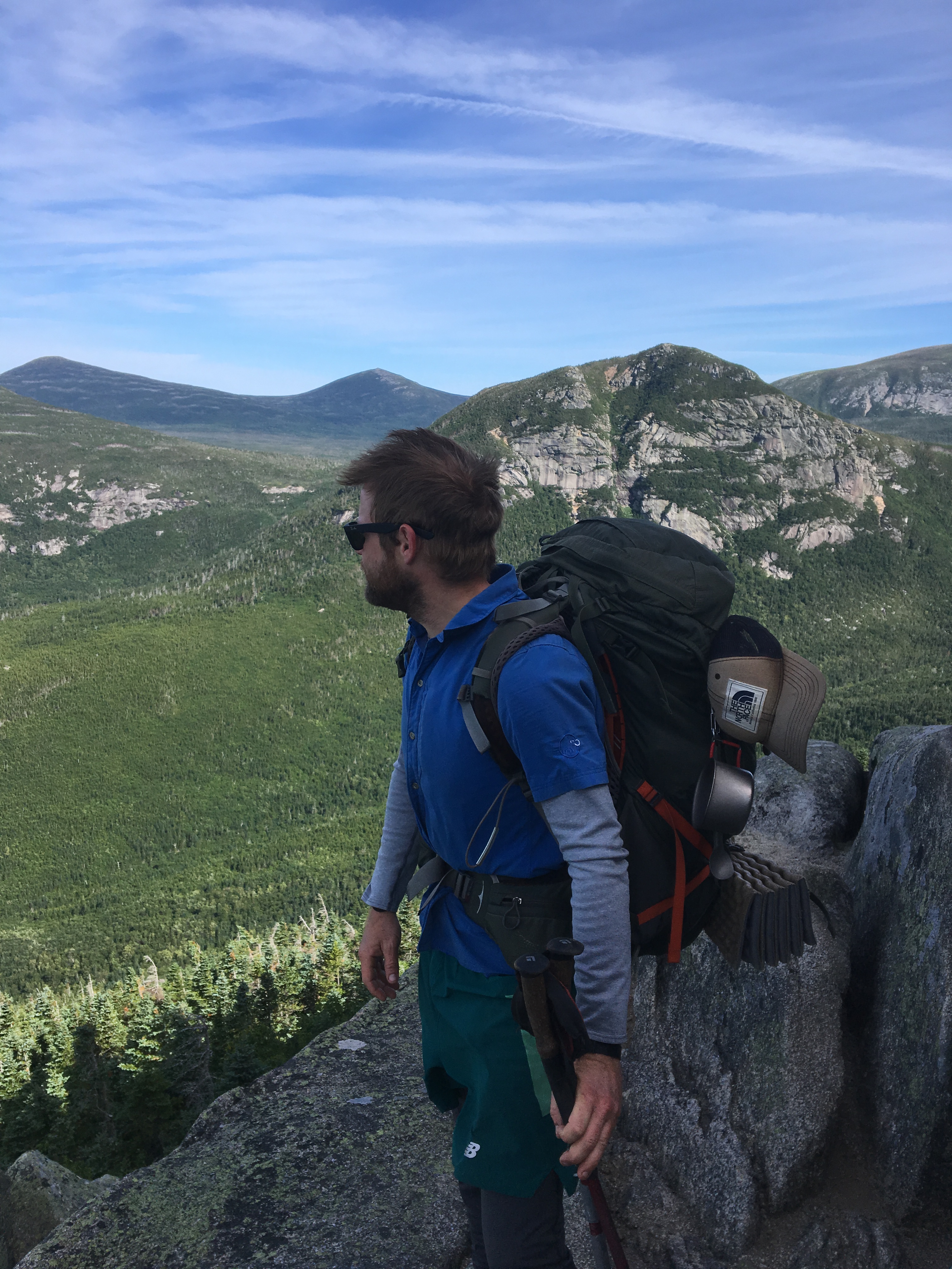
We cleared The Gateway at 10:15pm and got our first view of Baxter Peak, the northern terminus of the Appalachian Trail.

IMG_0956.JPG

Greyhound and I were giddy. In a few short hours we’d be thru-hikers. As the summit drew near, I started crying. I’d be reminiscing about a memorable hike or great day on the AT, and tears would just start rolling down my face. I thought about all of the people I had met along the way. I thought about Black Santa – I thought about Savage.

At last, you could see it. The summit, and the approach leading up to the summit, was very crowded with day hikers. I was shaking in anticipation.

IMG_0957.JPG

IMG_0981.JPG

At 11:29, I became a thru-hiker of the Appalachian Trail.

IMG_0964.JPG

Greyhound and I did it. I pulled out that stupid horseshoe I tripped over in Manchester Center, VT to commemorate the event.

We sat behind a boulder on the summit for a while, talking and sporadically bursting into tears. I don’t have the words to describe how I felt – I hope someday I will.

We slowly made our way down the mountain, joking the entire time that we were now hiking unofficial miles. Where was our gondola that took us to lobster dinners at the bottom? We made our way back to the ranger station at 3:30pm and signed the register indicating we were off the mountain.

We were done.

After catching a ride into Millinocket, ME and checking in at the A.T. Lodge, we showered and made our way to the best restaurant in town. We split a lobster dinner. We deserved it.

Day 152 – Monday, August 8th: Stealth Camp (Nesuntabunt Mountain) to The Birches Lean-to, 31.1 miles, 2,183.9 total AT miles.

We woke extremely early, hearing voices coming from the summit above. We weren’t the only ones trying to get an early start. Sunrise was beautiful – we were hiking by 6:15am. And we were running low on food – or at least I was. I ate my last Poptart as we descended Nesuntabunt.

IMG_0928.JPG

The trail finally got easy. We cruised past Rainbow Lake and stopped at the Rainbow Ledges at noon. We had already hiked sixteen miles – we were flying.

IMG_0934.JPG

Katahdin was so near – the finish line was so close. We could feel it. Even though I was hungrier than ever, I pushed on. We reached Abol Bridge and crossed the west branch of the Penobscot River at 2:30. We had officially finished the Hundred Mile Wilderness.

IMG_0936.JPG

The weather was great – clear, blue skies with no storm clouds in sight. Tomorrow’s summit of Katahdin looked like it’d be a nice one.

We stopped for a late lunch at the convenience store/restaurant that serviced hikers and kayakers in the area. I ate chicken wings and a burger with fries before all was said and done. We loaded up on snacks before leaving. We bought our last dinner. And chips, cookies, sodas and Poptarts.

We entered Baxter State Park at 4:00pm and signed in to stay at The Birches Lean-to that night. We were still ten miles away. Thankfully, the trail was easy. There have been few “easy” stretches on the AT – but this was one of them. We ran at times down the trail.

We did pause to take a quick privy break behind a huge boulder and have a snack at 6:00pm on the banks of the Nesowadnehunk River. As we were leaving, two black mink darted out in front of us and ran down-trail between our legs. Greyhound screamed and stabbed her trekking pole into the top of my foot. An involuntary reaction for sure, but man, it hurt really badly!

We hiked past Elbow Pond at sunset and found our way to the ranger station at The Birches by 9:00pm. The ranger was nearly asleep, but admitted us and showed us the way to the lean-to. I’m officially hiker 249 on the year – I started from Springer Mountain in Georgia as hiker number 534 almost five months ago.

It’s starting to set in.

We were surprised to find one of the two lean-tos to be unoccupied. We quickly unrolled our sleeping bags and set about making dinner. One last Rice Side and can of chicken for me – tomorrow I was summiting Katahdin. We fell asleep around 11:00pm.

Day 151 – Sunday, August 7th: Cooper Brook Falls Lean-to to Stealth Camp (Nesuntabunt Mountain), 23.4 miles, 2,152.8 total AT miles.

I woke up early and checked my phone – it hadn’t happened yet. Or at least he hadn’t sent it. (I have surprisingly good cell coverage in the Hundred Mile Wilderness).

I broke camp and ate a quick breakfast. Greyhound and I were excited. In two days, we’d be done hiking the AT. This theme dominated our conversation the entire day.

We left camp at 7:30am and started heading north. We were making great time. Any future thru-hikers should know that, despite the seemingly easy elevation profile in the HMW, the trail is still very difficult. But this section was easy! It was the “red carpet where you both can stroll north, side by side” that we were promised by a Southbounder two days ago.

IMG_0918.JPG

It was only 9:10am and we found ourselves stopping for an extended break – we had come across the best trail magic spread either of us had encountered. Here were, in the middle of the HMW, and a past thru-hiker (Giggles) and her boyfriend had set up the most elaborate spread ever.

They used a private road to get to the AT then hiked in all of their gear and trail magic supplies. Apparently, we had just missed breakfast – we insisted she not restart the grill. Greyhound and I ended up gorging ourselves on Oreos, grapes and Mountain Dew. It was truly a pleasant surprise and substantially lifted my spirits. Hell, we were only two days away from the finish line!

We took off from Jo-Mary road at 10:30am – unfortunately, the trail didn’t cooperate. Despite the flat elevation profile, the trail was rocky and rooty as ever. We stopped at 12:15pm by the edge of Jo-Mary Lake and cooked a hot lunch. We rock-hopped to a boulder twenty yards from shore and ate there, perched like two of the most uncomfortable birds ever. Greyhound quickly noticed our boulder island was covered with wild blueberry bushes – we snacked like kings!

IMG_0911.JPG

We made it back to shore and suited up – we still had many more miles to cover. We drank crystal-clear water straight from the earth at Potaywadjo Spring Lean-to at 2:30pm and emerge onto the shores of Pemadumcock Lake at 3:00pm.

My phone started pinging – I had service again for the first time since checking my phone upon waking up this morning. It happened.

Black Santa summited Katahdin. And here we were, some 48 miles behind. I sent a congratulatory text and was able to view that awesome mountain for the first time with my own eyes. We were both elated for him – and for the prospect of calling ourselves thru-hikers in 48 short hours. We left Pemadumcock Lake at 4:00pm reinvigorated and ready to finish this thing strong.

IMG_0921.JPG

We paused briefly on the shores of Nahmakanta Lake before attempting our summit of Nesuntabunt Mountain at dusk. Greyhound utilized my cell coverage to chat with her mother while I hiked ahead. I hiked up Nesuntabunt in the dark. When it got a little too dark, I paused and waited for Greyhound.

IMG_0924.JPG

I was tired and so was she – we plopped down on a ledge and decided to cowboy camp. We were both sore and extremely tired. We were ready for this hike to be over. We silently cooked dinner and fell asleep under the stars.

Day 150 – Saturday, August 6th: Stealth Camp (West Branch of the Pleasant River) to Cooper Brook Falls Lean-to, 24.5 miles, 2,129.4 total AT miles.

I woke up early, acutely aware of the fact that I was tenting on the AT. Again. I packed quickly and broke camp in a hurry. I felt good. We didn’t lose ground yesterday – we’re still ten miles behind schedule. But we didn’t gain back any of our lost mileage either. We both really wanted to push it today despite the fact that Greyhound didn’t feel well.

IMG_0872.JPG

We hiked five fast miles before 9:00am and kept heading north, but the trail got substantially less favorable. As we started ascending what would eventually become Whitecap Mountain I noticed the sky was getting darker. As we topped Hay Mountain, we got a good view of the skies ahead. And it didn’t look good.

We were on an exposed ridge, three miles from the nearest shelter, with a thunderstorm bearing down on us in a hurry. We started running up the mountain and quickly summited as the first raindrops hit.

IMG_0874.JPG

We were back in the trees, making a fast descent towards the Logan Brook Lean-to, when a huge flash of lightning followed by the snap of thunder shook the ground on the ridge behind. I’m thankful we’re fast when we need to be.

We made it to the shelter and joined another hiker seeking refuge from the storm. We chatted briefly and ate a quick lunch. It was 1:30pm and we had traveled twelve miles on the day. Not too bad…

After using the privy, we left the shelter and headed back to the AT. After a relatively easy descent, we found ourselves on somewhat favorable trail. We took a short snack break at 4:30pm and then again at 6:00. I had never seen a shelf mushroom that large before!

IMG_0890.JPG

We stopped at Crawford Pond and enjoyed the late afternoon sun before pressing on towards Cooper Brook Falls Lean-to at 8:00 – we made camp in the dark.

img_0902img_0906

We ran into a hiker we’d been crossing paths with for a week or so now. He got stung on the eye by a bee – the entire left side of his face was swollen shut! But he also took advantage of a food-drop service while in Monson – for thirty bucks he was able to have a cask of wine dropped in a five-gallon bucket in the middle of the HMW! At least he had that going for him.

I wish I took a picture of this lean-to – it was located in a very nice setting. Greyhound and I gathered water from the nearby stream before settling down to cook dinner – we finished eating after dark. We were cleaning up when I heard Greyhound scream. A tiny field mouse was snooping around a little too close for her comfort.

Some people are afraid of mice. Others are afraid of giant caterpillars. It’s okay.

We were both tired but thankful we decided to push hard today to make up for lost time. I was asleep by 9:30.

Day 149 – Friday, August 5th: Wilson Valley Lean-to to Stealth Camp (West Branch of the Pleasant River), 19.9 miles, 2,104.9 total AT miles.

I woke up and broke camp quickly. There were a lot of folks mulling about – we had been in the middle of a southbound thru-hiker bubble for a while now. I used the privy and gathered water from the stream that flowed alongside camp. We were on the trail just after 7:30am.

Greyhound was apologetic about having to hike the next two miles again – I told her it was not worth worrying about. But I was a little worried – it was Day Two in the HMW and we were already ten miles behind schedule.

IMG_0859.JPG

The trail today was a little difficult. We were constantly hopping from rock-to-rock and root-to-root all morning. Around 10:30am, I found a giant, green caterpillar on the AT – it reminded me of the horn worms that used to attack my mom’s tomatoes when I was a kid. This thing was terrifying. It was thrashing back and forth, wiggling its blue horn into the air. What a monster.

At around 1:00pm, we stopped at the Barren Ledges to have a quick lunch – I’m thankful I’ve become really good at eating – I can finally close my food bags! We set off with a renewed vigor and summit Fourth Mountain at 3:30 having traveled eleven miles on the day.

IMG_0860.JPG

We hung out on Monument Cliff for a while – today was turning into a great hiking day.

IMG_0862.JPG

We hiked to the summits of Columbus and Chairback Mountains – Chairback was beautiful.

We caught an amazing sunset as we descended into the valley below. It got dark quickly – we continued hiking north with headlamps. The trail stayed rocky – we found little options to camp.

img_0866img_0867

As we approached the banks of the Pleasant River, we started passing several clusters of tents – there wasn’t a campsite to be found. We eventually made it to the river. We decided it’d be best to ford this thing now, giving our shoes some time to dry out overnight, rather than tackle it first thing in the morning. The crossing was a cinch – it was only about calf-deep at the most.

We set up camp directly on the AT on the opposite shore – it was nearly 10:30pm before we even started cooking dinner. We both went to sleep quickly.


Day 148 – Thursday, August 4th: the Lake Shore House (Monson, ME) to Wilson Valley Lean-to, 10.4 miles, 2,085.0 total AT miles.

We woke early and immediately started packing. I took another quick shower and finished organizing my food bag, making sure I was carrying enough for at least six days of backpacking. We both suited up and left the hostel at 8:00am. We walked a block down the street and decided to have one last real meal at the town diner before heading out.

The food was absolutely amazing – they even had a bakery that sold fresh-baked bread and an assortment of sweet snacks. I bought a small loaf as we were leaving. We strapped on our packs and headed across the street to try to get a hitch to the trailhead. In minutes, a USFS truck pulled over and offered us a lift. We climbed into the truck bed and took off. We arrived at the trailhead in minutes and officially entered the Hundred Mile Wilderness.

IMG_0847.JPG

We passed by several ponds and decided to take a break at Little Wilson Falls. It was a very cool. The couple who picked us up in Andover told us that the areas surrounding Monson were known for their slate. You could definitely see that was the case at Little Wilson Falls. We pressed on at 2:30pm. We weren’t hungry yet, but we were getting there.

IMG_0850.JPG

Maybe a mile or so past Little Wilson Falls, we decided to stop and have lunch. All of a sudden, the skies opened up. Thinking I was being clever, I pulled my footprint (ground cover) out of my tent bag – Greyhound and I held it over our heads like a giant poncho while the storm passed. It made eating our lunch awkward and difficult. But we stayed dry and were back on the trail at 3:15pm.

IMG_0856.JPG

I wish we could say we were making good time, but we weren’t. While the terrain was relatively flat, it was very rocky and rooty, and pretty muddy from all the rain. At 4:50, we stopped to ford the Big Wilson Stream. I stood on the bank and watched as Greyhound attempted to use an overhead rope to shimmy across the water’s surface.

But the physics weren’t quite right. She jumped in the air to gain momentum – but gravity had other ideas. She ended up landing square in the middle of the stream, her legs and the bottom of her pack getting drenched. It was a sight to behold! Thankfully, she wasn’t injured (ego, for sure) and we quickly moved on. Did I mention I filmed the whole thing? Priceless.

We hiked on, passing the Wilson Valley Lean-to at 4:00pm and continued hiking north. We had crossed a small mountain and were nearing a series of streams when Greyhound paused and yelled – her hand was holding her ear. Her earrings were gone!

We tried to figure out what happened and when. She remembers feeling the rope pull past her ear when she jumped/fell into the stream hours ago – her earrings must have been ripped out then. It was the only plausible scenario we could come up with. And these earrings were special – they were given to her by her grandmother as a graduation present. She was very upset and disappointed to say the least.

But we had still had many miles to hike if we wanted to stay on schedule. I told her the earrings were more important, that we should turn around and try to find them. I knew it might take some time to find them – it’d be sunset by the time we arrived back at the stream. I assured her it was worth losing miles in order to find them.

We turned around and started sprinting back to the Big Wilson Stream. After an hour of hiking, we passed the Wilson Valley Lean-to. We had decided I would stay behind with our packs and make camp while Greyhound ran ahead to find her earring. I quickly put up my tent and stowed our packs before heading down trail to help her search.

I was nearly to the stream when I saw her hiking north towards me. As she got closer, I saw that she had a big smile on her face. She found her earring! She said she spent a few minutes in the creek, moving rocks aside were she fell in. She moved a few feet to her left, looked down and saw something gold glinting the sunlight. She reached down and plucked it out from the sandy bottom – only the stud was exposed. How lucky – I was truly glad she found it!

We hiked back to the lean-to and finished making camp. We had plenty of time to cook dinner and relax before going to bed.

A group of teenagers from the Maine CCC (Civilian Conservation Corps) were camped all around us – they were doing trail maintenance on this section of the AT. It got a little noisy – I thought about the boy scouts. I also thought about Walk With Nature, my middle school backpacking club. While on our first backpacking trip to AT in North Georgia, I met a backpacker attempting his thru-hike. I remember his story well. The seed had been planted.

Day 147 – Wednesday, August 3: Stealth Camp (West Branch of the Piscataquis River) to the Lake Shore House (Monson, ME), 12.0 miles, 2,074.6 total AT miles.

We woke up early and packed quickly. We didn’t want any of the hikers we passed last to catch up with us before we broke camp. After a quick breakfast, we were on the trail by 6:30am.

img_0839img_0841

The trail into Monson was very rocky – and got rockier as we approached. The weather was nice at least – cool breezes and big, blue skies. We hoped to arrive in Monson by noon, but the trail had other plans. We finally spilled out into the trailhead parking lot at 1:30pm.

I called the hostel and asked if we could catch a ride. We were picked up fifteen minutes later and found ourselves checking in shortly after that. We both took showers and got our clothes into the laundry. We put on loaner clothes and headed to Shaw’s, a different hostel in town that maintained a hiker resupply shop.

Buying all those snacks and meals quickly added up – it was definitely one of my more expensive resupplies. Walked our purchases back to the hotel and put on clean clothes. It didn’t seem like there were many hikers staying at the Lake Shore – there were quite a few at Shaw’s. While Shaw’s had a small store and more of a community of hikers staying there, the Lake Shore had a restaurant on the first floor.

We walked downstairs and sat at the bar. The food was nice – and not too expensive. I ordered crab rangoons, chicken wings and a sandwich and fries. We ate quickly and ferociously. I headed to the convenience store to grab a few more snacks before turning in for the night.

We looked through the AT Guide at the elevation profiles for the days ahead. In order to summit Katahdin on the 9th, we needed to cross through the Hundred Mile Wilderness in five days – that’s about 20 miles a day. The profile looked awfully flat in places, especially towards the end. We were very confident we could do it. We went to bed ready to enter the last big section on the AT.

* * *

We still haven’t seen a moose. Everyone else has seen one, if not many. This really bothers Greyhound – she wants her moose bad. I told her we’d definitely see one in the HMW. I hope I’m right.

Day 146 – Tuesday, August 2: Stealth Camp (Caratunk, ME) to Stealth Camp (Piscataquis River), 24.7 miles, 2,062.6 total AT miles.

I woke early and jogged down the AT towards the river – there was a nice privy on the banks of the Kennebec. I returned to find Greyhound up and packing. I quickly ate my leftovers (saving half of the Cuban sandwich for a snack) and started packing as well. After Greyhound visited the privy, we were both ready to hike out. We set off at 8:30am.

Only two small mountains stood in our way today – neither even came close to 3,000 feet. The dense forest made for surprisingly easy hiking – We summited Pleasant Pond Mountain at 11:30am having hiked seven miles on the day. I wish I knew more about geology, but this mountain looked like it had been worn down in places – I’m thinking glaciers, but really don’t know.

img_0813img_0815

After a quick snack, we pressed on. We made great time on easy grade – Maine is turning out to be a very pretty state!

IMG_0816.JPG

We briefly took a break at the side trail to Bald Mountain Brook Lean-to and ate some snacks – two miles ahead lay Moxie Bald.

IMG_0824.JPG

The weather was great – we were ready to push some serious miles. We powered up Moxie Bald, summiting 7:00pm. We slowed to enjoy the summit, eventually pausing to have a quick snack.

We still had high hopes for today. The further we got tonight, the closer we’d be to Monson, ME. Monson is the last town we’ll hit before entering the Hundred Mile Wilderness and then, Katahdin. We wanted tomorrow to be as close to a day off as possible.

img_0833img_0835

We passed the Moxie Bald Mountain Lean-to at 8:30pm, just as the sun was setting. Thankfully, the trail ahead was flat. We made it to the banks of the Piscataquis River at 10:30pm and quickly made camp right on the river bank. I decided against cowboy camping as it looked like it might rain overnight. I quickly cooked and went to sleep.

We both talked about how exciting we were to be reaching Monson tomorrow. Monson was the last town we’d ever stay in on the AT – we had already booked a room at the Lake Shore House. Beyond Monson, there was a hundred miles of nothing. No towns, no hostels, no markets, no resupply options of any kind. We were giving ourselves five days to traverse the Hundred Mile Wilderness – we’d be summiting Katahdin the very next day. And then we’d be done.

Day 145 – Monday, August 1: Stealth Camp (East Flagstaff Lake) to Stealth Camp (Caratunk, ME), 19.1 miles, 2,037.9 total AT miles.

We woke at 3:30am. We did it on purpose. Today we wanted to hike.

Nineteen miles ahead lay the Kennebec River and the road crossing for Caratunk, ME. We needed to reach the Kennebec before 4:00pm. The only way across this river is via canoe – and the ferry shuts down early in the afternoon.

We wanted to reach the Kennebec by noon – if we hiked hard, covering those nineteen miles shouldn’t be a problem. We quickly packed up – we didn’t have the same problem with dew that we had the night before.

We scoured the elevation profile extensively before we left – I’m pretty sure we haven’t seen this level an elevation profile since we started hiking together. We were on the trail at 4:10am, hiking in the dark.

I had cell service so we listened to music as we hiked. We stopped only twice for quick breaks – once at the West Carry Pond Lean-to to use the privy, then again at the Otter Pond stream. It wasn’t Greyhound that wanted the break – it was me. I was exhausted and thirsty. It was only 11:00am and we had already hiked sixteen miles.

IMG_0807.JPG

We stopped for nearly an hour. I set up a makeshift “trail magic” station for hikers who may be behind us. A hiker, Lumberjack, finally came through. And he missed it!

IMG_0809.JPG

I called out that he should turn around – as soon as he saw the gummy bears, he dove in and ate them right off the branch! It was pretty funny. He left – Greyhound and I kept relaxing. I can’t remember the last time I had done this many miles before noon.

IMG_0808.JPG

After crossing a small footbridge, we finally reached the Kennebec River at 12:45pm. We walked down to the shore. We waited for the ferry (really just a guy in a conoe) to paddle over from the opposite back. He beached the canoe and, after signing our releases, Greyhound and I hopped aboard.

It only took a few minutes to cross the river – what a neat experience! Greyhound and I were officially “aqua-blazers”. We made our way up to the road crossing and, since it was so early in the day, we decided to treat ourselves to lunch. We stuck out our thumbs and started trying to hitch to an outdoor center a few miles away.

About 30 minutes later (we were determined), a van from the outdoor center picked us up. Greyhound and I walk inside only to find a hiker sitting at the bar. He didn’t look good. He had just completed a ridiculous food challenge – he ate a huge (and I mean HUGE) burger and fries in less than half an hour. I walked him outside – sweat was pouring down his face. He ended up puking in the bushes next to the center and promptly left. At least his meal was free!

Greyhound and I sat down and ordered regular-sized burgers, chips and guacamole, and fried pickles – the food was great! We were hoping to buy snacks at the outdoor center, but the available options were slim. After lunch, we walked outside, expecting a difficult time getting a hitch – instead, we were picked up right away by a local and her dogs.

We explain our desire to find a place that sold snacks – she ended up dropping us off at the Sterling Inn, a hiker-friendly inn/B&B/hostel that maintains a small hiker store. The building was beautiful! We bought an assortment of affordable snacks and were even given a ride back to the trailhead by the owner.

While our plan was to hike an additional six miles to the Pleasant Pond Lean-to, we decided to stealth camp in the woods near the Kennebec. We set up camp and waited for sunset.

Greyhound was updating her journal so I decided I’d hitch back to the outdoor center and buy dinner – the allure of a decent meal can be very strong.

Even though the sun was setting, I caught a quick hitch to the outdoor center and ordered a Cuban sandwich with fries and a meatloaf dinner to-go. As soon as the food was ready, I was out the door – it was getting dark and my chances of getting a hitch were looking slim. Luckily, a teenager quickly pulled over and scooped me up.

I finally got back to camp around 9:00pm – Greyhound was already asleep. I ate half of both dinners before crawling into my tent to go to sleep.

Day 144 – Sunday, July 31: Avery Memorial Campsite to Stealth Camp (East Flagstaff Lake), 9.8 miles, 2,018.8 total AT miles.

We woke up late and didn’t get started packing until after 8:30pm – we were both still tired. And things weren’t being helped by the fact the privy was a quarter mile away. We didn’t leave camp until close to 8:00am. We gathered water from a near-pristine cistern before summiting Avery Peak at 9:00am.

img_0783img_0785

The Bigelows are gorgeous.

Greyhound took refuge from the wind in the foundation of an old fire tower and enjoyed a quick break before we began our descent. The trail was mossy, rooty and full of rocks and boulders. We took another quick break under a giant boulder at 10:15.

IMG_0789.JPG

We were making slow time, making sure to enjoy the amazing views.

We crossed Little Bigelow at 3:00pm and headed down towards East Flagstaff Lake – we were hoping to find another spot to have a break. Instead we stopped – we were resting on an amazing lake-side stealth campsite. It was too good to pass up – we were in desperate need of a break.

IMG_0800.JPG

We stretched out our sleeping bags on the sandy beach and laid down to go through the AT Guide. As we were making notes and reviewing the days ahead, we watched a small chipmunk run over to my food bag, inspect it, and then scurry around our campsite. We stared intently as he made his way behind us – right before jumping on my calf to take a break.

I loved it! Man, I’ve got a thing with chipmunks! We cooked a quick dinner and enjoyed a beautiful sunset over the lake. We had big plans for tomorrow and fell asleep after sunset.

IMG_0804.JPG